
The facility was targeted by Israeli forces on June 23, one day after the U.S. carried out strikes using bunker-buster bombs.
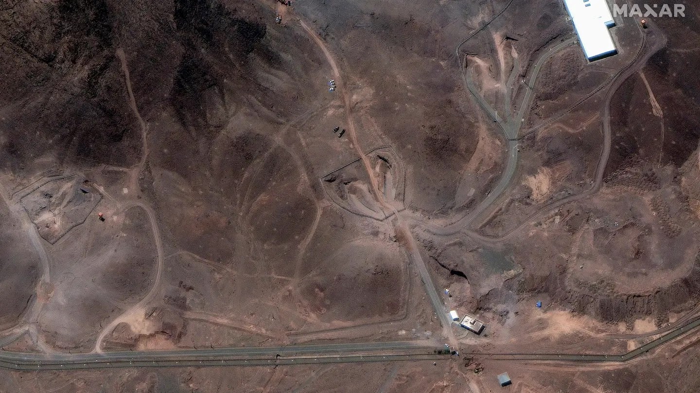
The new high-resolution satellite imagery, collected by Maxar Technologies, shows an excavator and several personnel positioned immediately next to the northern shaft on the ridge above the underground complex.

Maxar’s photos also reveal the complete destruction of a facility north of the site, surrounded by more craters and scattered dust. One more crater and visible burn marks are seen on a western access route.
Analysts believe the primary goal of the strikes was to hinder access to the sites and complicate repair efforts.
The Fordow site, which is buried within a mountain near Qom, about 60 miles southwest of Tehran, was bombed by the U.S. on June 22, resulting in six prominent craters and a noticeable spread of grey debris, according to satellite photos.
Source: www.foxnews.com

No comments:
Post a Comment